Drone photography and video for land and acreage listings
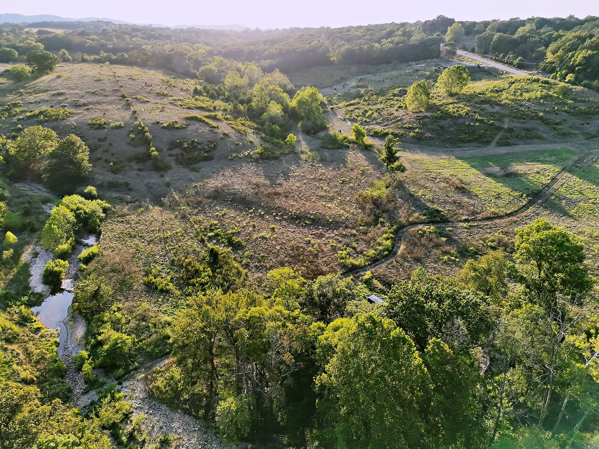
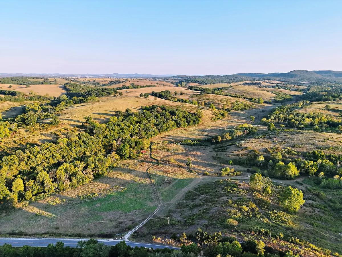
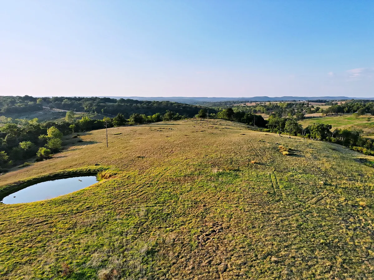
Acreage is hard to sell from the road. From the air a buyer sees the lay of the land in one look: open ground, timber, water, and how the place is reached. We fly land listings across Southwest Missouri and Northwest Arkansas.
›Open ground, tree lines and ponds in one frame
›Creeks, draws and access roads
›Golden-hour light when the property calls for it